LAS / LAZ
Ground-classified point clouds
LiDAR point-cloud data classified to support terrain review and downstream project workflows.
Know what is on the ground now, what changed, and what remains—then receive the agreed data in a format your team can use.
Limited early-access pilot projects are now being reviewed across Ontario.
Aeropex Mapping
Turn terrain, stockpiles, and site progress into data your team can use. LiDAR mapping for Ontario construction, aggregate, and civil-site projects.
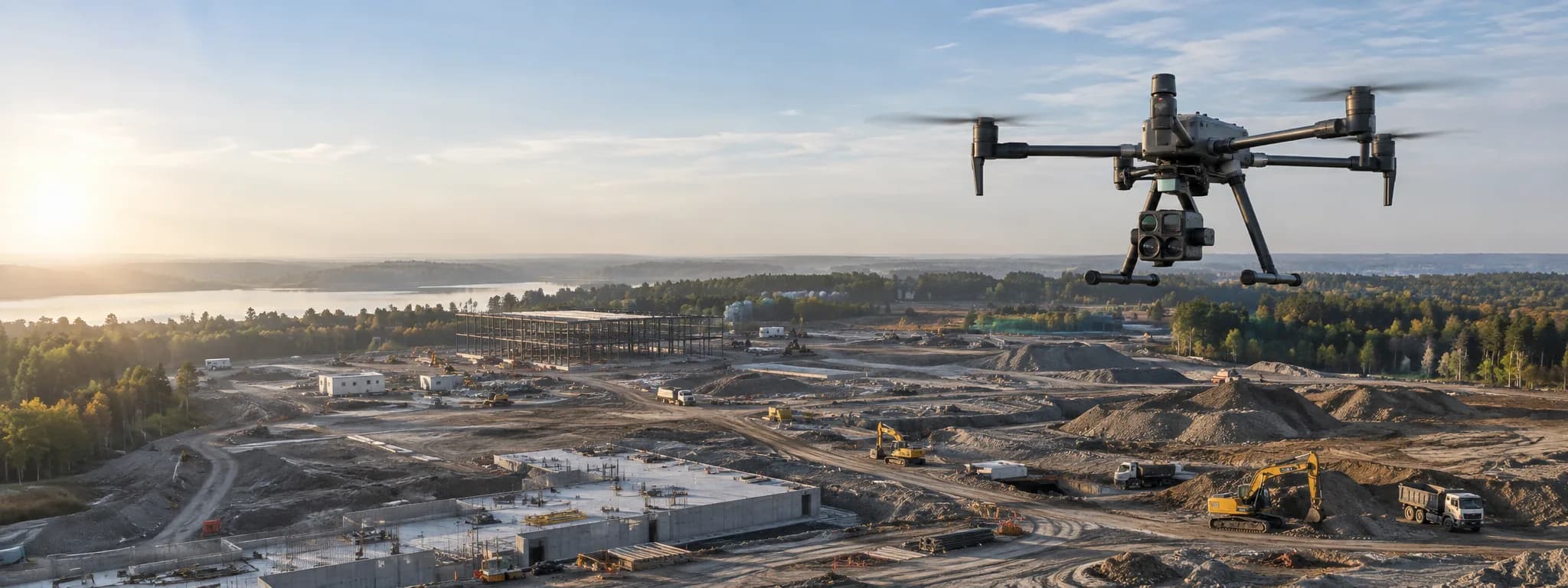
A drone follows a planned route above an aggregate site. Scanning beams sweep the terrain and stockpiles as a coloured point cloud takes shape. A drone flies back and forth over an illustrative construction and aggregate site. A fan of scanning beams reaches the ground. Coloured points accumulate over the terrain and stockpiles as each pass is completed. A separate view shows the collected points forming a three-dimensional site model. The animation illustrates data collection; it contains no measured site data.
Aeropex Reality Intelligence
Every project starts with a business or engineering question. We define the measurement scope, comparison, accuracy requirements, and deliverables around the answer your team needs.
Deliverables are selected during the site review so the output matches your intended use, software workflow, and project requirements.
LAS / LAZ
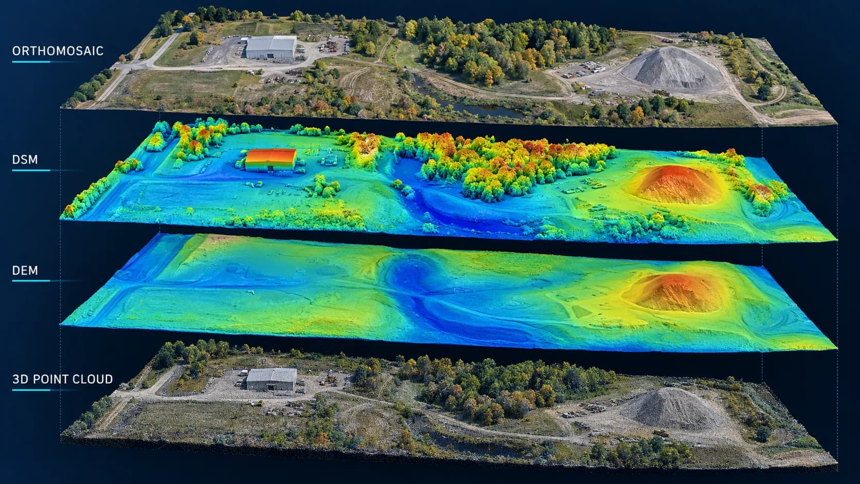
LiDAR point-cloud data classified to support terrain review and downstream project workflows.
GeoTIFF
Bare-earth terrain models and surface models supplied as georeferenced raster files.
GeoTIFF
Georeferenced aerial imagery assembled into a current, measurable view of the site.
DXF / SHP
Contour files prepared for use in compatible CAD and GIS project workflows.
Project report
Stockpile and earthwork volume calculations for inventory, planning, and progress comparisons.
When checkpoints are supplied
Processing notes and accuracy documentation prepared when independent checkpoints are provided.
Built for project decisions
The capture method is only the beginning. Each project is structured around the quantity, change, or condition your team needs to review.

The site review aligns the intended use, files, coordinate system, conditions, and schedule before a quotation is issued.
Share the site location, approximate area, intended use, required deliverables, and target date.
We review the coordinate system, site conditions, checkpoint availability, file requirements, and delivery schedule.
You receive a defined scope, fixed quotation, and project schedule before field work begins.
The site is captured and the agreed mapping files and documentation are prepared for delivery.
Early-access LiDAR pilot projects
Send the site location, approximate area, required deliverables, and target date. We will confirm the scope, fixed quotation, and project schedule before mobilization.
The current LiDAR pilot service is intended for Ontario construction teams, aggregate operators, and civil-site projects that need current terrain, progress, or volume information.
Depending on the agreed scope, deliverables can include classified LAS or LAZ point clouds, GeoTIFF terrain and surface models, GeoTIFF orthomosaics, and DXF or SHP contour files.
Yes. Volume calculations can be included when the site, reference surface, intended comparison, and reporting requirements are defined during the review.
The project scope confirms the coordinate system, processing requirements, and available site control. Processing and accuracy documentation can be supplied when independent checkpoints are provided.
No. Aeropex supplies aerial mapping and engineering-support data. Legal property boundaries, certified survey plans, and cadastral surveys must be completed by a licensed Ontario Land Surveyor.
Share the location, approximate area, required deliverables, and target date so Aeropex can define a practical mapping scope.
Request a free site assessment